Posts

Showing posts with the label map

Welcome to Weaverville
Image
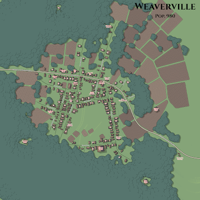
I have gone back and forth with myself on the map I would use for Weaverville. I knew that I didn't want to use the map of Phandalin that comes in the box, as it's more of a village than a town. If I was doing a settlement of 400 people it would be fine, but I wanted something closer to 1000 people; a small town or large village. I originally planned on using the Sanborn map of Weaverville from 1889 which shows a population of 1000 people. I actually did a lot of work based on this map, but have decided against using it. Instead, I'm going to use a map generated by watabou's Village Generator  because it's less work and offers me several advantages regarding the style of the map (b&w, color, night, simplified). I took the map and layered some text over it and badda-boom, badda-bing I have a settlement of 980 people. It's not the historical Weaverville, but I think it will make for a more playable location and do quite nicely for the purposes of our game. Wel...
Kingdoms of the Sunset Coast

Image
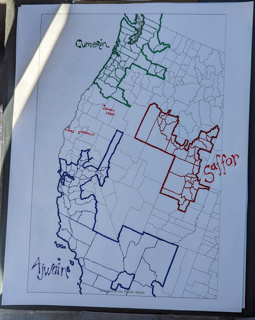
 The Lost Coast region lies between the Kingdom of Ajwain in the south and the Kingdom of Cumerin in the north. Both of these kingdoms claim much larger tracts of territory than they actually control and they are in contest with each other, with Ajwain being the stronger of the two but also much more involved in internal strife. Saffor is the nation on the other side of the mountains and is made up of large numbers of displaced native scro people who have gathered together with the Saffor nations.

Big Map

Image
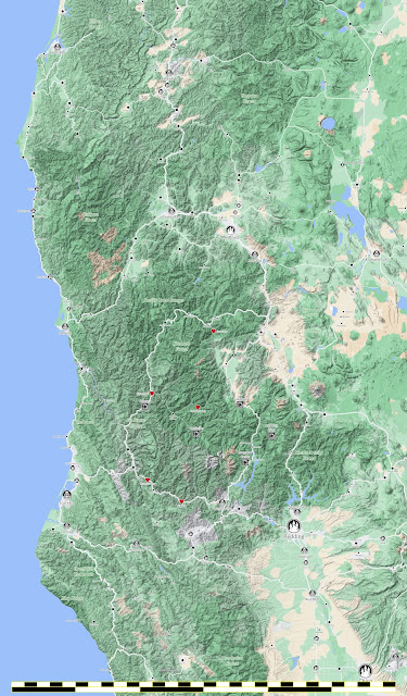
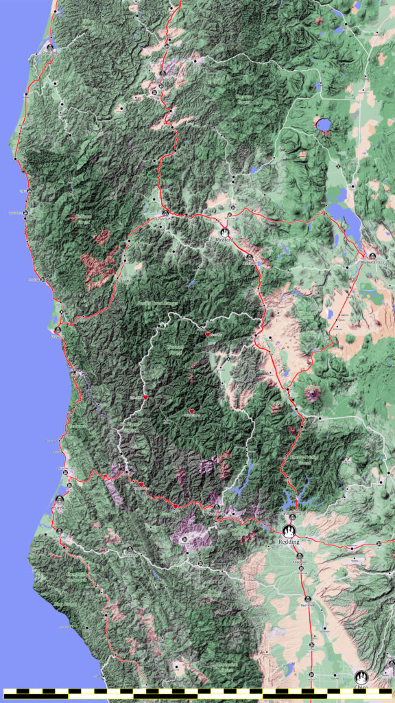
I screen captured some google maps with the labels turned off and stitched them together. Then I tweaked the color, contrast, and depth. Put the whole thing in Photoshop and started rebuilding it. It’s not done, but I’m not really sure what else will get added, removed, or changed. I just know that I’ll make changes or additions. It’s kinda what I do. I scaled the map down to 4k resolution, but it’s still a big file (3.5Mb). You’re looking at an even further reduced file. The scaled version here is 1440 by 2560 pixels and its hard to read. If you click on the map you’ll open the full-size image. This is the Player Map, I have a DM Map that has all the various adventure locations marked on it. Adventure Campaign Map Cities are marked with castle icons. Towns look a little like the capital building. Villages are a handful of little houses. Hamlets and thorps are the black circles. It’s mostly ridiculous that I’ve put villages on the map, normally I don’t show anything smaller than a tow...

Lost Coast Map

Image
You can't play D&D without a map... well... you can, but why would you? Maps are great. Anyway, my plan to use the real world as the basis for my fantasy world was supposed to make things easier. It did not. See, there is a LOT of data available on the real world, enough to swamp all my plans to keep things simple, because the real world is not simple. Anyway, what do I want from the real world? I want Crater Lake. I want someplace rugged and untamed... that translates to mountains. I also want ocean. I've decided on a stretch of northern California and Oregon. So with the aid of google maps, a bunch of screen captures, and some photoshop magic you get something like this. This is my new campaign map.  

Saltmarsh Becomes Eureka

Image
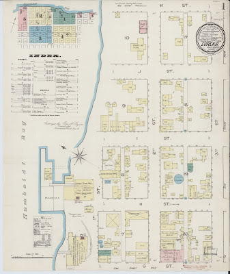
I don’t want to run the Ghosts of Saltmarsh parts of my Adventure in a giant city like Waterdeep or Greyhawk, but I think the town as presented in the book is a little on the small side. Also, the source material seems at odds with itself over how big the town is. Is it a place with a population of 2,000 or a place with a population of 5,000? That map seems too small for either number. So I’ve gone back to the Sanborn Maps I mentioned in my Weaverville post and I found a few I like. Eureka, 1886

Somehow, I Missed This for 30-years

Image
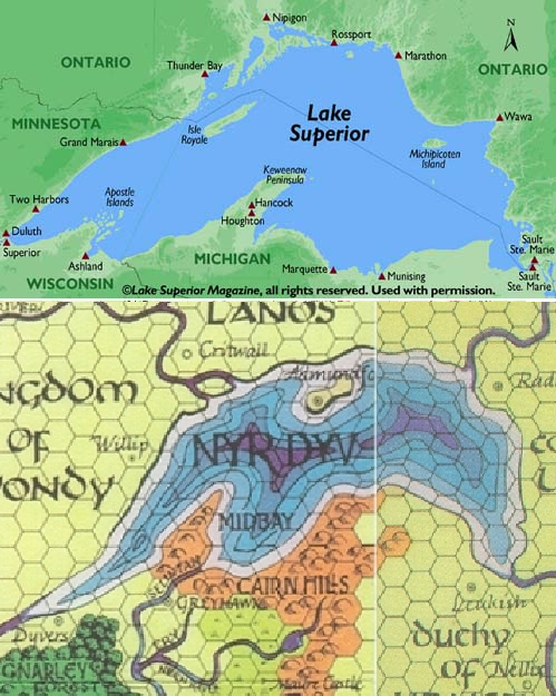
I have a very soft spot in my heart for TSR's World of Greyhawk—if not the campaign setting, definitely the map. It's one of my favorites. That may be because it was my first exposure to a D&D world setting. But this, this I never noticed. The lake of unknown depths is very obviously Lake Superior. Which is very cool. But being a Michigan native, I feel like I should have noticed that at some point in the last 30 years. Fortunately, the internet stepped in and pointed it out to me.